


Cumberland Voting District, Webster County, Mississippi
About
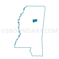
Outline

Summary
| Unique Area Identifier | 606923 |
| Name | Cumberland Voting District |
| County | Webster County |
| State | Mississippi |
| Area (square miles) | 23.52 |
| Land Area (square miles) | 23.37 |
| Water Area (square miles) | 0.16 |
| % of Land Area | 99.34 |
| % of Water Area | 0.66 |
| Latitude of the Internal Point | 33.63155590 |
| Longtitude of the Internal Point | -89.06081380 |
Maps


Graphs
Select a template below for downloading or customizing gragh for Cumberland Voting District, Webster County, Mississippi


Neighbors
Neighoring Voting District (by Name) Neighboring Voting District on the Map
- Big Black Voting District, Webster County, MS
- Clarkson Voting District, Webster County, MS
- Maben Voting District, Webster County, MS
- Mantee Voting District, Webster County, MS
- Pheba Voting District, Clay County, MS
Top 10 Neighboring County Subdivision (by Population) Neighboring County Subdivision on the Map
- District 5, Clay County, MS (3,847)
- District 5, Webster County, MS (2,188)
- District 4, Webster County, MS (2,157)